Carrington: Church Drive
Introduction
The photograph on this page of Carrington: Church Drive by John Sutton as part of the Geograph project.
The Geograph project started in 2005 with the aim of publishing, organising and preserving representative images for every square kilometre of Great Britain, Ireland and the Isle of Man.

There are currently over 7.5m images from over 14,400 individuals and you can help contribute to the project by visiting https://www.geograph.org.uk
Carrington: Church Drive
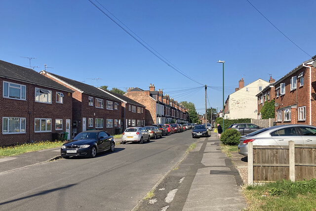
Image: © John Sutton Taken: 14 Jun 2023
Church Drive runs from Mansfield Road to Hucknall Road (ahead). This stretch has a mixture of Victorian and twentieth-century houses.
Images are licensed for reuse under creativecommons.org/licenses/by-sa/2.0
Image Location
Latitude
52.974947
Longitude
-1.153651