Old Boundary Stone, Ayleford
Introduction
The photograph on this page of Old Boundary Stone, Ayleford by Mr Red as part of the Geograph project.
The Geograph project started in 2005 with the aim of publishing, organising and preserving representative images for every square kilometre of Great Britain, Ireland and the Isle of Man.

There are currently over 7.5m images from over 14,400 individuals and you can help contribute to the project by visiting https://www.geograph.org.uk
Old Boundary Stone, Ayleford
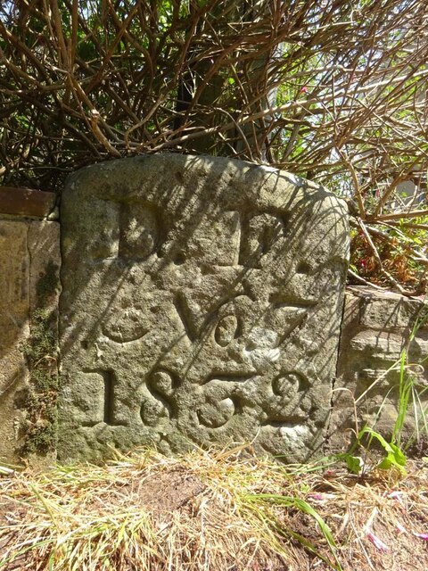
Image: © Mr Red Taken: 13 Jun 2023
An original "Royal Forest of Dean" Boundary Stone on an u/c road close to the junction with Cinderford Road. Inscription: D. F. / Nᴼ. 7 / 1832 Milestone Society National ID: GL_DFAWRS07em
Images are licensed for reuse under creativecommons.org/licenses/by-sa/2.0
Image Location
Latitude
51.774533
Longitude
-2.485932