Sgeir Fada
Introduction
The photograph on this page of Sgeir Fada by Richard Webb as part of the Geograph project.
The Geograph project started in 2005 with the aim of publishing, organising and preserving representative images for every square kilometre of Great Britain, Ireland and the Isle of Man.

There are currently over 7.5m images from over 14,400 individuals and you can help contribute to the project by visiting https://www.geograph.org.uk
Sgeir Fada
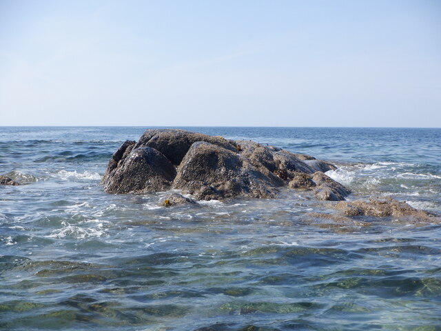
Image: © Richard Webb Taken: 13 Jun 2023
Very little of the skerry emerges from a neap high water. Another rock nearby was also dry.
Images are licensed for reuse under creativecommons.org/licenses/by-sa/2.0
Image Location
Latitude
56.528172
Longitude
-6.891411