OS Flush Bracket G4687, Mablethorpe
Introduction
The photograph on this page of OS Flush Bracket G4687, Mablethorpe by Richard Law as part of the Geograph project.
The Geograph project started in 2005 with the aim of publishing, organising and preserving representative images for every square kilometre of Great Britain, Ireland and the Isle of Man.

There are currently over 7.5m images from over 14,400 individuals and you can help contribute to the project by visiting https://www.geograph.org.uk
OS Flush Bracket G4687, Mablethorpe
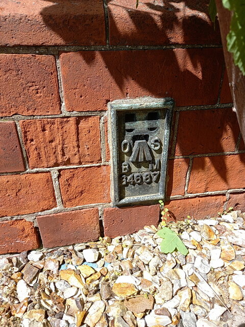
Image: © Richard Law Taken: 23 May 2023
G4687 lies on the roadside wall of the former County Primary School, although the building appears redundant at present. It was recorded during the 3rd Geodetic Levelling survey in the late 1950s or early 1960s at 2.07m above Ordnance Datum Newlyn.
Images are licensed for reuse under creativecommons.org/licenses/by-sa/2.0
Image Location
Latitude
53.33857
Longitude
0.251949