Anerley Road and Brooklyn House, Anerley
Introduction
The photograph on this page of Anerley Road and Brooklyn House, Anerley by Robin Stott as part of the Geograph project.
The Geograph project started in 2005 with the aim of publishing, organising and preserving representative images for every square kilometre of Great Britain, Ireland and the Isle of Man.

There are currently over 7.5m images from over 14,400 individuals and you can help contribute to the project by visiting https://www.geograph.org.uk
Anerley Road and Brooklyn House, Anerley
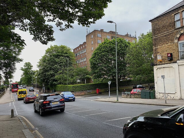
Image: © Robin Stott Taken: 22 May 2023
Brooklyn House is a block of private apartments; the building is something of a local landmark. Anerley Road is joined by Versailles Road, centre, and Thicket Road, left. Image reference: 7508555
Images are licensed for reuse under creativecommons.org/licenses/by-sa/2.0
Image Location
Latitude
51.41421
Longitude
-0.07076