Barmston Ferry
Introduction
The photograph on this page of Barmston Ferry by Chris Heaton as part of the Geograph project.
The Geograph project started in 2005 with the aim of publishing, organising and preserving representative images for every square kilometre of Great Britain, Ireland and the Isle of Man.

There are currently over 7.5m images from over 14,400 individuals and you can help contribute to the project by visiting https://www.geograph.org.uk
Barmston Ferry
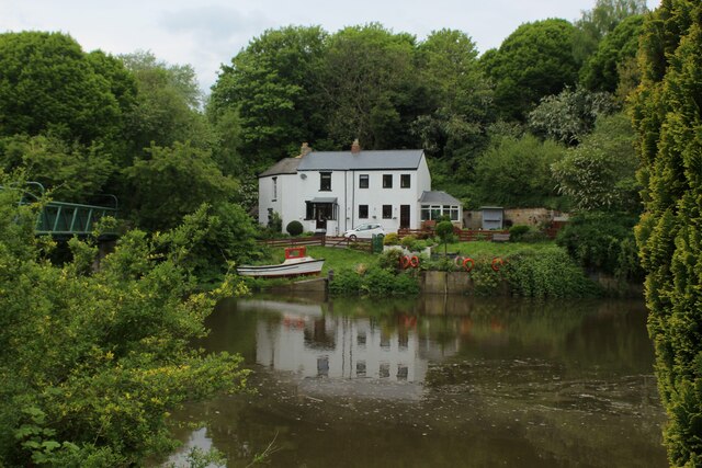
Image: © Chris Heaton Taken: 18 May 2023
A rowing boat used to cross the River Wear at this point, until the footbridge was opened in 1958. The scene photographed on the Weardale Way in Cox Green, upon the opposite bank.
Images are licensed for reuse under creativecommons.org/licenses/by-sa/2.0
Image Location
Latitude
54.891208
Longitude
-1.494381