Weardale Way beside the A182
Introduction
The photograph on this page of Weardale Way beside the A182 by Chris Heaton as part of the Geograph project.
The Geograph project started in 2005 with the aim of publishing, organising and preserving representative images for every square kilometre of Great Britain, Ireland and the Isle of Man.

There are currently over 7.5m images from over 14,400 individuals and you can help contribute to the project by visiting https://www.geograph.org.uk
Weardale Way beside the A182
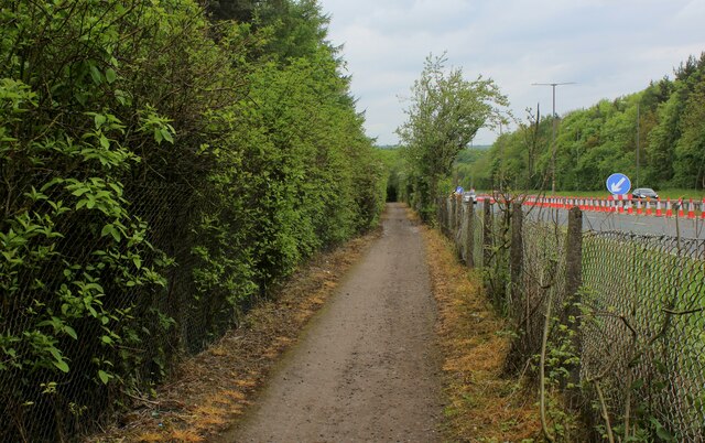
Image: © Chris Heaton Taken: 18 May 2023
The long distance footpath has been granted a segregated channel to guide its trail back to the River Wear at Chartershaugh Bridge
Images are licensed for reuse under creativecommons.org/licenses/by-sa/2.0
Image Location
Latitude
54.873392
Longitude
-1.510811