Wapping Bridge
Introduction
The photograph on this page of Wapping Bridge by Chris Heaton as part of the Geograph project.
The Geograph project started in 2005 with the aim of publishing, organising and preserving representative images for every square kilometre of Great Britain, Ireland and the Isle of Man.

There are currently over 7.5m images from over 14,400 individuals and you can help contribute to the project by visiting https://www.geograph.org.uk
Wapping Bridge
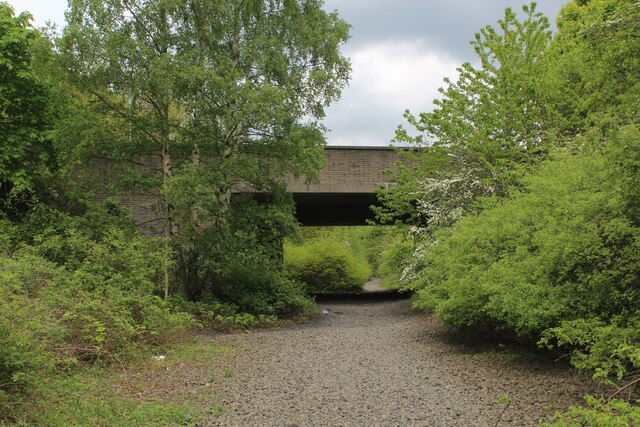
Image: © Chris Heaton Taken: 18 May 2023
Carries the A183 over the disused Leamside Railway - passed by on the Weardale Way. Closed to all traffic by 1990, it ran from Tursdale Junction to the Durham Coast Line at Pelaw Junction. There are discussions afoot, to a possible re-opening. Gravel stones on the trackbed appear to be in place.
Images are licensed for reuse under creativecommons.org/licenses/by-sa/2.0
Image Location
Latitude
54.86009
Longitude
-1.510193