Residential blocks
Introduction
The photograph on this page of Residential blocks by James Allan as part of the Geograph project.
The Geograph project started in 2005 with the aim of publishing, organising and preserving representative images for every square kilometre of Great Britain, Ireland and the Isle of Man.

There are currently over 7.5m images from over 14,400 individuals and you can help contribute to the project by visiting https://www.geograph.org.uk
Residential blocks
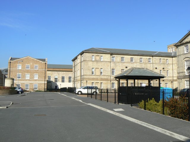
Image: © James Allan Taken: 31 Mar 2008
Recently constructed residential apartment blocks have been designed to blend in sympathetically with the older building (seen in the background). This development is on the site of the former West Riding Pauper Lunatic Asylum, which later became Stanley Royd hospital and is adjacent to Pinderfields Hospital.
Images are licensed for reuse under creativecommons.org/licenses/by-sa/2.0
Image Location
Latitude
53.691117
Longitude
-1.491297