Beanford Lane
Introduction
The photograph on this page of Beanford Lane by Alan Murray-Rust as part of the Geograph project.
The Geograph project started in 2005 with the aim of publishing, organising and preserving representative images for every square kilometre of Great Britain, Ireland and the Isle of Man.

There are currently over 7.5m images from over 14,400 individuals and you can help contribute to the project by visiting https://www.geograph.org.uk
Beanford Lane
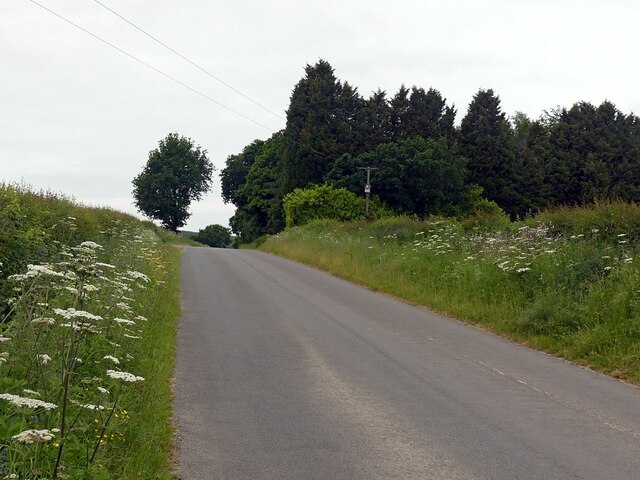
Image: © Alan Murray-Rust Taken: 6 Jun 2023
Looking towards Foulds Plantation, established around 1900 as a game covert with pheasantry.
Images are licensed for reuse under creativecommons.org/licenses/by-sa/2.0
Image Location
Latitude
53.053185
Longitude
-1.073197