Site of Ebenezer Methodist Chapel, John Street, Carmarthen
Introduction
The photograph on this page of Site of Ebenezer Methodist Chapel, John Street, Carmarthen by N Scott as part of the Geograph project.
The Geograph project started in 2005 with the aim of publishing, organising and preserving representative images for every square kilometre of Great Britain, Ireland and the Isle of Man.

There are currently over 7.5m images from over 14,400 individuals and you can help contribute to the project by visiting https://www.geograph.org.uk
Site of Ebenezer Methodist Chapel, John Street, Carmarthen
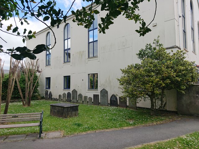
Image: © N Scott Taken: 31 May 2023
Ebenezer Welsh Wesleyan Methodist Chapel was built in 1824 and re-built in 1856, closing in 1920. The building, which became known as Wesley House, was occupied by the Carmarthen Farmers’ Co-operative Society for many years. It was demolished in 1995 and replaced by the Job Centre. The building bore OSBM flush bracket G3220: Height (1954): 15.7306m OD (Newlyn). Mark verified by the Ordnance Survey in 1976. Description: FL BR G3220 WESLEY HO NW ANG NW FACE. 0.5m above ground. 1st Order BM. SN 4117 2025 The bracket was used on the Carmarthen to Haverford West line (G075) of the Third Geodetic Levelling of England & Wales in 1954. It was also included on the Haverford West, via Tenby to Carmarthen line (G163) in 1962. Description: W angle of Carmarthen Farmer's Coop Society Building, E side of John Street. Abstract G 64: http://discovery.nationalarchives.gov.uk/SearchUI/details?Uri=C11264472 [OS 54/753]
Images are licensed for reuse under creativecommons.org/licenses/by-sa/2.0
Image Location
Latitude
51.858171
Longitude
-4.307805