Benchmark, Whale
Introduction
The photograph on this page of Benchmark, Whale by Adrian Taylor as part of the Geograph project.
The Geograph project started in 2005 with the aim of publishing, organising and preserving representative images for every square kilometre of Great Britain, Ireland and the Isle of Man.

There are currently over 7.5m images from over 14,400 individuals and you can help contribute to the project by visiting https://www.geograph.org.uk
Benchmark, Whale
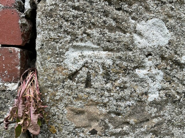
Image: © Adrian Taylor Taken: 6 Jun 2023
Detail of the Ordnance Survey cut benchmark on a stone wall adjacent to the postbox in Whale. The benchmark marks a height of 191.006m above mean sea level (Ordnance Datum Newlyn) last verified in 1954 (location photograph Image). A period of dry weather has caused the dandelion growing in the crack in the wall to die.
Images are licensed for reuse under creativecommons.org/licenses/by-sa/2.0
Image Location
Latitude
54.586615
Longitude
-2.742023