Slough House
Introduction
The photograph on this page of Slough House by paul dickson as part of the Geograph project.
The Geograph project started in 2005 with the aim of publishing, organising and preserving representative images for every square kilometre of Great Britain, Ireland and the Isle of Man.

There are currently over 7.5m images from over 14,400 individuals and you can help contribute to the project by visiting https://www.geograph.org.uk
Slough House
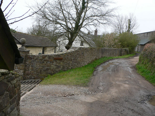
Image: © paul dickson Taken: 4 Apr 2008
This no through road heading south-east has come to an end with Slough House on the left. The cattle grid prevents livestock getting on the road.
Images are licensed for reuse under creativecommons.org/licenses/by-sa/2.0
Image Location


Leaflet Map data © OpenStreetMap
Latitude
51.006602
Longitude
-3.784458