Long Lane
Introduction
The photograph on this page of Long Lane by Greum as part of the Geograph project.
The Geograph project started in 2005 with the aim of publishing, organising and preserving representative images for every square kilometre of Great Britain, Ireland and the Isle of Man.

There are currently over 7.5m images from over 14,400 individuals and you can help contribute to the project by visiting https://www.geograph.org.uk
Long Lane
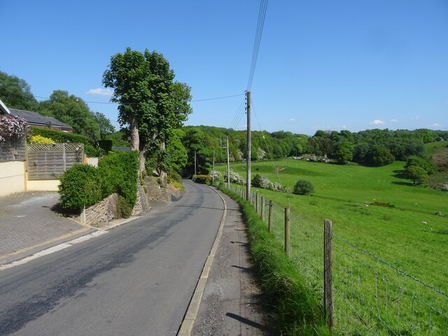
Image: © Greum Taken: 20 May 2023
Long Lane is the name of this stretch of the road between Feniscowles and Billinge above Pleasington. This image pictures the descent towards Trout Brook.
Images are licensed for reuse under creativecommons.org/licenses/by-sa/2.0
Image Location
Latitude
53.737224
Longitude
-2.549511