Levetts Lane homes
Introduction
The photograph on this page of Levetts Lane homes by David M Clark as part of the Geograph project.
The Geograph project started in 2005 with the aim of publishing, organising and preserving representative images for every square kilometre of Great Britain, Ireland and the Isle of Man.

There are currently over 7.5m images from over 14,400 individuals and you can help contribute to the project by visiting https://www.geograph.org.uk
Levetts Lane homes
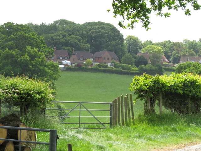
Image: © David M Clark Taken: 2 Jun 2023
The Guinness business grew hops in Bodiam and Ewhurst area where they were major employers. They sponsored the Bodiam Housing Association which built 28 homes to rent in 1949 on the outskirts of the village, close to the school, bus route and Church. Many have been sold and extended and command high prices today.
Images are licensed for reuse under creativecommons.org/licenses/by-sa/2.0
Image Location
Latitude
51.007343
Longitude
0.53726