Foots Cottages, Foots Lane West
Introduction
The photograph on this page of Foots Cottages, Foots Lane West by Simon Carey as part of the Geograph project.
The Geograph project started in 2005 with the aim of publishing, organising and preserving representative images for every square kilometre of Great Britain, Ireland and the Isle of Man.

There are currently over 7.5m images from over 14,400 individuals and you can help contribute to the project by visiting https://www.geograph.org.uk
Foots Cottages, Foots Lane West
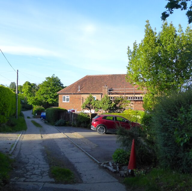
Image: © Simon Carey Taken: 29 May 2023
Not marked on Burwash's 1839 tithe map but does appear on the 1873 OS map as Little Pound Farm. By the 1898 edition it had become two cottages.
Images are licensed for reuse under creativecommons.org/licenses/by-sa/2.0
Image Location
Latitude
50.983755
Longitude
0.344759