Flush Bracket, The Dry Arch
Introduction
The photograph on this page of Flush Bracket, The Dry Arch by Rossographer as part of the Geograph project.
The Geograph project started in 2005 with the aim of publishing, organising and preserving representative images for every square kilometre of Great Britain, Ireland and the Isle of Man.

There are currently over 7.5m images from over 14,400 individuals and you can help contribute to the project by visiting https://www.geograph.org.uk
Flush Bracket, The Dry Arch
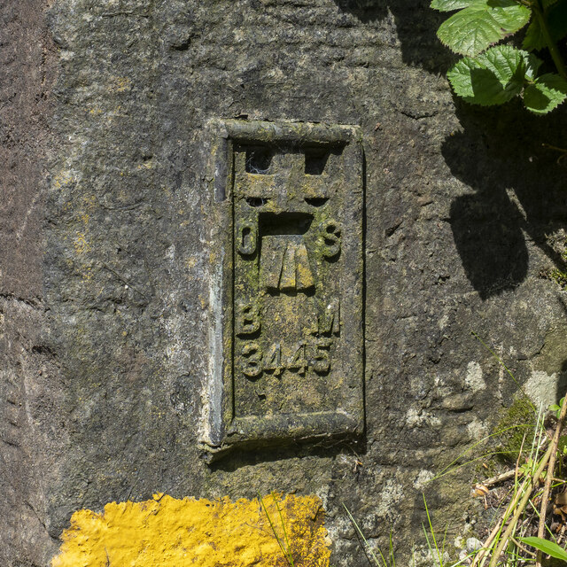
Image: © Rossographer Taken: 29 May 2023
Flush bracket bench mark on the northern abutment of the dry arch near Armoy (on the B67 Moyarget Road - on the right of Image approximately 1 metre off the ground, so getting a picture is very difficult and quite dangerous - care needed). The number on the bracket is OSBM 3445. The mark has been levelled to 92.43 metres above MSL.
Images are licensed for reuse under creativecommons.org/licenses/by-sa/2.0
Image Location
Latitude
55.161245
Longitude
-6.376567