Dobb Top Road, Holmbridge
Introduction
The photograph on this page of Dobb Top Road, Holmbridge by Paul Harrop as part of the Geograph project.
The Geograph project started in 2005 with the aim of publishing, organising and preserving representative images for every square kilometre of Great Britain, Ireland and the Isle of Man.

There are currently over 7.5m images from over 14,400 individuals and you can help contribute to the project by visiting https://www.geograph.org.uk
Dobb Top Road, Holmbridge
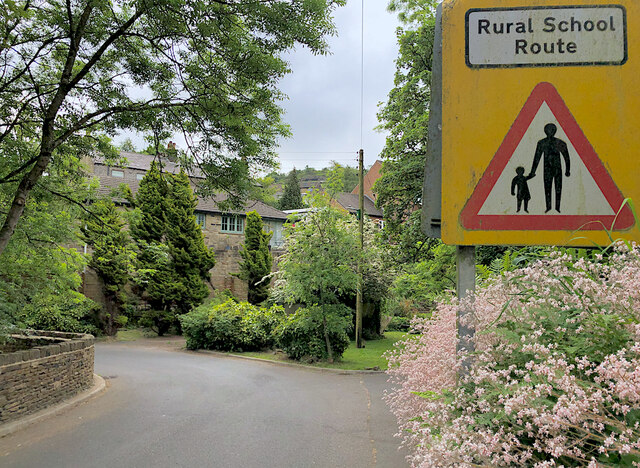
Image: © Paul Harrop Taken: 28 May 2023
The sign on the right is one of a few in the area, presumably to warn of pedestrian children and parents trying to reach the nearby primary school along winding roads with narrow or non-existent footways.
Images are licensed for reuse under creativecommons.org/licenses/by-sa/2.0
Image Location
Latitude
53.55678
Longitude
-1.813988