Former pub, Churchdown
Introduction
The photograph on this page of Former pub, Churchdown by Stephen Richards as part of the Geograph project.
The Geograph project started in 2005 with the aim of publishing, organising and preserving representative images for every square kilometre of Great Britain, Ireland and the Isle of Man.

There are currently over 7.5m images from over 14,400 individuals and you can help contribute to the project by visiting https://www.geograph.org.uk
Former pub, Churchdown
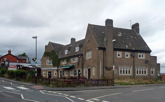
Image: © Stephen Richards Taken: 21 Aug 2015
It was the Bat and Ball Inn, a 1938-39 rebuilding by L.W. Barnard & Partners. Happily this pub reopened later the same year Image
Images are licensed for reuse under creativecommons.org/licenses/by-sa/2.0
Image Location
Latitude
51.876378
Longitude
-2.16773