Dyehouse Road, near Thursley, Surrey
Introduction
The photograph on this page of Dyehouse Road, near Thursley, Surrey by Malc McDonald as part of the Geograph project.
The Geograph project started in 2005 with the aim of publishing, organising and preserving representative images for every square kilometre of Great Britain, Ireland and the Isle of Man.

There are currently over 7.5m images from over 14,400 individuals and you can help contribute to the project by visiting https://www.geograph.org.uk
Dyehouse Road, near Thursley, Surrey
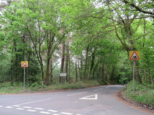
Image: © Malc McDonald Taken: 20 May 2023
Dyehouse Road is a minor road through woodland in Surrey. Warning signs indicate that long vehicles are at risk of grounding, due to an uneven road surface. Another sign prohibits military vehicles from using this road, a clue that military activity takes place in this area.
Images are licensed for reuse under creativecommons.org/licenses/by-sa/2.0
Image Location
Latitude
51.151661
Longitude
-0.723596