The Brierdene Burn, Whitley Bay
Introduction
The photograph on this page of The Brierdene Burn, Whitley Bay by Geoff Holland as part of the Geograph project.
The Geograph project started in 2005 with the aim of publishing, organising and preserving representative images for every square kilometre of Great Britain, Ireland and the Isle of Man.

There are currently over 7.5m images from over 14,400 individuals and you can help contribute to the project by visiting https://www.geograph.org.uk
The Brierdene Burn, Whitley Bay
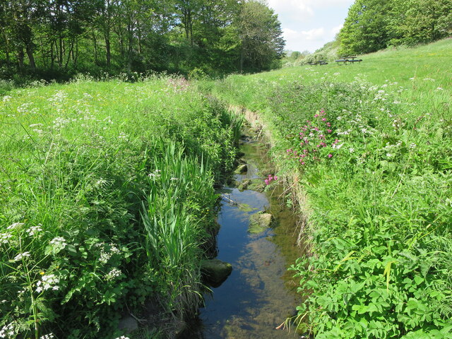
Image: © Geoff Holland Taken: 23 May 2023
This is the Brierdene Burn looking westwards before it flows beneath the small wooden bridge on which the photographer is standing and thence beneath the culverted Whitley Bay to Blyth Road. The Brierdene is an area managed by Friends of Brierdene www.friendsof brierdene.org.uk with assistance from North Tyneside Council.
Images are licensed for reuse under creativecommons.org/licenses/by-sa/2.0
Image Location


Leaflet Map data © OpenStreetMap
Latitude
55.058009
Longitude
-1.456119