Crossing the Nottingham Canal
Introduction
The photograph on this page of Crossing the Nottingham Canal by John Sutton as part of the Geograph project.
The Geograph project started in 2005 with the aim of publishing, organising and preserving representative images for every square kilometre of Great Britain, Ireland and the Isle of Man.

There are currently over 7.5m images from over 14,400 individuals and you can help contribute to the project by visiting https://www.geograph.org.uk
Crossing the Nottingham Canal
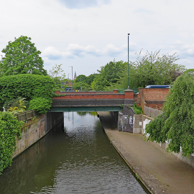
Image: © John Sutton Taken: 18 May 2023
Bridge 1d carries Meadow Lane over the Nottingham Canal, whose towpath is a popular off-road route into Nottingham city centre for walkers and cyclists. The spire of St Saviour's Church on Arkwright Walk (busy Arkwright Street before the redevelopment of The Meadows in the 1970s) shows above the trees.
Images are licensed for reuse under creativecommons.org/licenses/by-sa/2.0
Image Location


Leaflet Map data © OpenStreetMap
Latitude
52.940407
Longitude
-1.138254