Samphire Meadows
Introduction
The photograph on this page of Samphire Meadows by Glyn Baker as part of the Geograph project.
The Geograph project started in 2005 with the aim of publishing, organising and preserving representative images for every square kilometre of Great Britain, Ireland and the Isle of Man.

There are currently over 7.5m images from over 14,400 individuals and you can help contribute to the project by visiting https://www.geograph.org.uk
Samphire Meadows
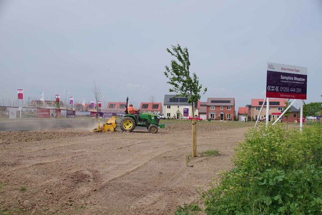
Image: © Glyn Baker Taken: 19 May 2023
Humm..... with a name like that it might be fun trying to get flood insurance! Just one of what appear to be dozens of building sites all over Tendering.
Images are licensed for reuse under creativecommons.org/licenses/by-sa/2.0
Image Location
Latitude
51.847064
Longitude
1.246677