Cotswold Road
Introduction
The photograph on this page of Cotswold Road by Ian Capper as part of the Geograph project.
The Geograph project started in 2005 with the aim of publishing, organising and preserving representative images for every square kilometre of Great Britain, Ireland and the Isle of Man.

There are currently over 7.5m images from over 14,400 individuals and you can help contribute to the project by visiting https://www.geograph.org.uk
Cotswold Road
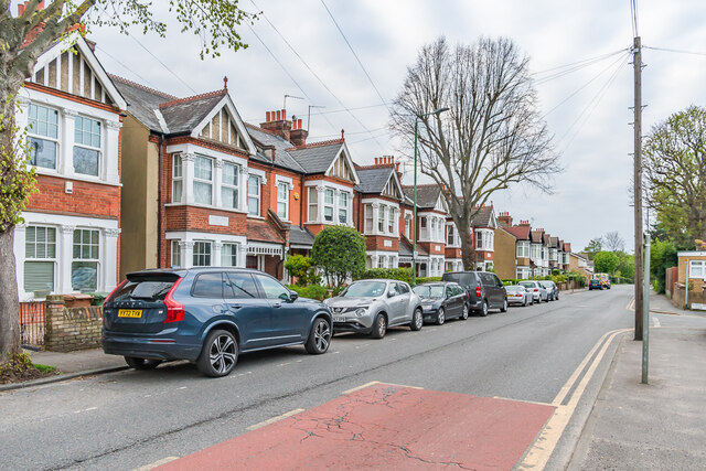
Image: © Ian Capper Taken: 26 Apr 2023
Row of semi-detached houses in Cotswold Road first marked on the 1913 25 inch map, although the road itself (at that time named Banstead Road, the current name not appearing until the 1956 1:1250 map) is much older.
Images are licensed for reuse under creativecommons.org/licenses/by-sa/2.0
Image Location
Latitude
51.343792
Longitude
-0.194591