Woodland track near Pendeford in Staffordshire
Introduction
The photograph on this page of Woodland track near Pendeford in Staffordshire by Roger Kidd as part of the Geograph project.
The Geograph project started in 2005 with the aim of publishing, organising and preserving representative images for every square kilometre of Great Britain, Ireland and the Isle of Man.

There are currently over 7.5m images from over 14,400 individuals and you can help contribute to the project by visiting https://www.geograph.org.uk
Woodland track near Pendeford in Staffordshire
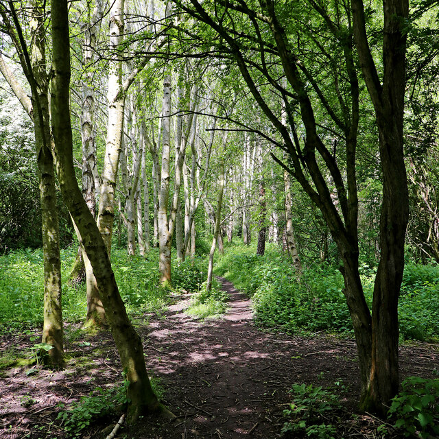
Image: © Roger Kidd Taken: 15 May 2023
Looking north-north-west. There is a strip of woodland between the River Penk (off to the let) and fields by Upper Pendeford Farm. A permissive path leads through it, linking The Droveway (and the Pendeford Public Nature Walk) with Wobaston Road (about 480 metres ahead). The track is not signposted, or shown on maps as a public footpath.
Images are licensed for reuse under creativecommons.org/licenses/by-sa/2.0
Image Location
Latitude
52.625821
Longitude
-2.160392