Cattawade Bridge
Introduction
The photograph on this page of Cattawade Bridge by Bob Jones as part of the Geograph project.
The Geograph project started in 2005 with the aim of publishing, organising and preserving representative images for every square kilometre of Great Britain, Ireland and the Isle of Man.

There are currently over 7.5m images from over 14,400 individuals and you can help contribute to the project by visiting https://www.geograph.org.uk
Cattawade Bridge
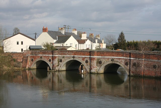
Image: © Bob Jones Taken: 2 Apr 2008
This ancient bridge used to carry the A137 between Ipswich and Lawford, across the River Stour. It is now closed to vehicular traffic. This photo is taken from the road that by-passes the village of Cattawade. The river is tidal below this point.
Images are licensed for reuse under creativecommons.org/licenses/by-sa/2.0
Image Location


Leaflet Map data © OpenStreetMap
Latitude
51.956018
Longitude
1.057445