Attenuation pond, Chase Farm
Introduction
The photograph on this page of Attenuation pond, Chase Farm by Alan Murray-Rust as part of the Geograph project.
The Geograph project started in 2005 with the aim of publishing, organising and preserving representative images for every square kilometre of Great Britain, Ireland and the Isle of Man.

There are currently over 7.5m images from over 14,400 individuals and you can help contribute to the project by visiting https://www.geograph.org.uk
Attenuation pond, Chase Farm
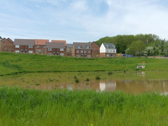
Image: © Alan Murray-Rust Taken: 14 May 2023
The muddiness of the water is due to the fact that it is draining off the continuing construction area, with plenty of mud on the roads.
Images are licensed for reuse under creativecommons.org/licenses/by-sa/2.0
Image Location
Latitude
52.986527
Longitude
-1.090563