Footpath off Sweetbrier Lane
Introduction
The photograph on this page of Footpath off Sweetbrier Lane by s as part of the Geograph project.
The Geograph project started in 2005 with the aim of publishing, organising and preserving representative images for every square kilometre of Great Britain, Ireland and the Isle of Man.

There are currently over 7.5m images from over 14,400 individuals and you can help contribute to the project by visiting https://www.geograph.org.uk
Footpath off Sweetbrier Lane
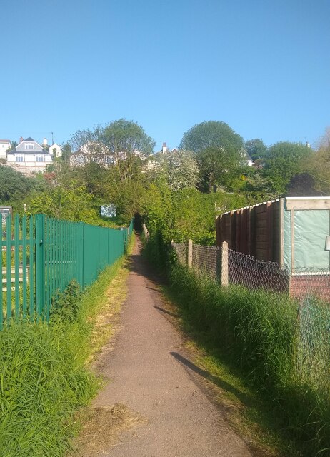
Image: © s Taken: 13 May 2023
The footpath connects Sweetbrier Lane and Birchy Barton Hill via 'The 99 Steps'. On the left is Sweetbrier Lane Allotments.
Images are licensed for reuse under creativecommons.org/licenses/by-sa/2.0
Image Location
Latitude
50.722731
Longitude
-3.491076