Floodplain of the River Tame near Kingsbury
Introduction
The photograph on this page of Floodplain of the River Tame near Kingsbury by Richard Law as part of the Geograph project.
The Geograph project started in 2005 with the aim of publishing, organising and preserving representative images for every square kilometre of Great Britain, Ireland and the Isle of Man.

There are currently over 7.5m images from over 14,400 individuals and you can help contribute to the project by visiting https://www.geograph.org.uk
Floodplain of the River Tame near Kingsbury
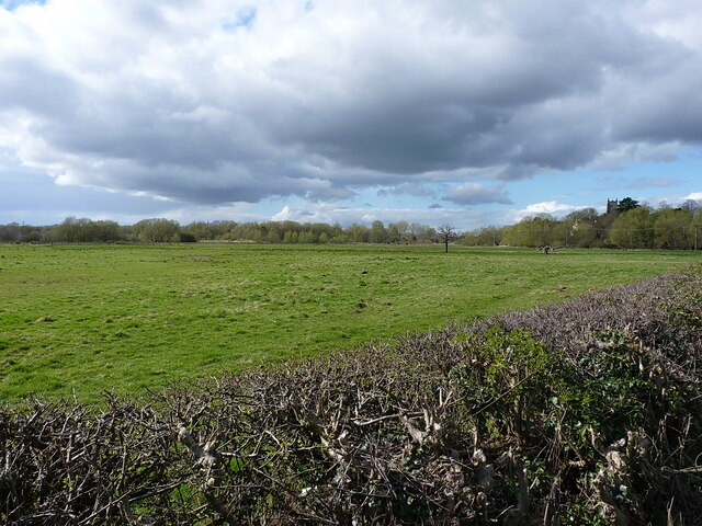
Image: © Richard Law Taken: 6 Apr 2023
Over the roadside hedge onto the water meadows alongside the Tame river.
Images are licensed for reuse under creativecommons.org/licenses/by-sa/2.0
Image Location
Latitude
52.561053
Longitude
-1.683985