Severn Valley Railway south-east of Highley
Introduction
The photograph on this page of Severn Valley Railway south-east of Highley by Roger Kidd as part of the Geograph project.
The Geograph project started in 2005 with the aim of publishing, organising and preserving representative images for every square kilometre of Great Britain, Ireland and the Isle of Man.

There are currently over 7.5m images from over 14,400 individuals and you can help contribute to the project by visiting https://www.geograph.org.uk
Severn Valley Railway south-east of Highley
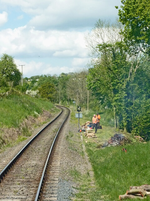
Image: © Roger Kidd Taken: 14 May 2014
Looking north towards Country Park Halt and Highley Station. A trackside 15 mph speed limit sign by the workmen applies to the viaduct crossing the Borle Brook (behind the camera). https://svr.co.uk/
Images are licensed for reuse under creativecommons.org/licenses/by-sa/2.0
Image Location
Latitude
52.43451
Longitude
-2.365474