Paths in Furzton
Introduction
The photograph on this page of Paths in Furzton by Stephen McKay as part of the Geograph project.
The Geograph project started in 2005 with the aim of publishing, organising and preserving representative images for every square kilometre of Great Britain, Ireland and the Isle of Man.

There are currently over 7.5m images from over 14,400 individuals and you can help contribute to the project by visiting https://www.geograph.org.uk
Paths in Furzton
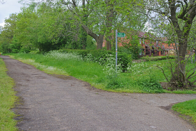
Image: © Stephen McKay Taken: 10 May 2023
Part of the vast network of paths and cycleways in Milton Keynes, there is a junction here with the route off to the right, leading eventually to Furzton Lake, is officially designated a bridleway.
Images are licensed for reuse under creativecommons.org/licenses/by-sa/2.0
Image Location
Latitude
52.006111
Longitude
-0.770094