Path down to Caterham Drive
Introduction
The photograph on this page of Path down to Caterham Drive by Marathon as part of the Geograph project.
The Geograph project started in 2005 with the aim of publishing, organising and preserving representative images for every square kilometre of Great Britain, Ireland and the Isle of Man.

There are currently over 7.5m images from over 14,400 individuals and you can help contribute to the project by visiting https://www.geograph.org.uk
Path down to Caterham Drive
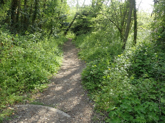
Image: © Marathon Taken: 4 May 2023
The path leads from the London Loop at Old Lodge Lane to Caterham Drive through woodland here which is an extension of Dollypers Hill. This is just past the junction seen at www.geograph.org.uk/photo/7480566 and begins the drop down to Caterham Drive.
Images are licensed for reuse under creativecommons.org/licenses/by-sa/2.0
Image Location
Latitude
51.306282
Longitude
-0.108432