Gate on cycle route
Introduction
The photograph on this page of Gate on cycle route by M J Roscoe as part of the Geograph project.
The Geograph project started in 2005 with the aim of publishing, organising and preserving representative images for every square kilometre of Great Britain, Ireland and the Isle of Man.

There are currently over 7.5m images from over 14,400 individuals and you can help contribute to the project by visiting https://www.geograph.org.uk
Gate on cycle route
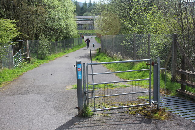
Image: © M J Roscoe Taken: 7 May 2023
The waymrker indicates that this is part of NCR 46. This is now incorrect and probably dates from the extensive construction of the A465. This bridle path is possibly NCR 492 and certainly joins it to the east.
Images are licensed for reuse under creativecommons.org/licenses/by-sa/2.0
Image Location
Latitude
51.799529
Longitude
-3.16371