Path to the Teardrop Lakes
Introduction
The photograph on this page of Path to the Teardrop Lakes by Stephen McKay as part of the Geograph project.
The Geograph project started in 2005 with the aim of publishing, organising and preserving representative images for every square kilometre of Great Britain, Ireland and the Isle of Man.

There are currently over 7.5m images from over 14,400 individuals and you can help contribute to the project by visiting https://www.geograph.org.uk
Path to the Teardrop Lakes
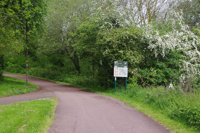
Image: © Stephen McKay Taken: 10 May 2023
Part of Milton Keynes' vast network of surfaced paths, this leads down to the four interconnected Teardrop Lakes. The sign gives passers-by some details of what to expect.
Images are licensed for reuse under creativecommons.org/licenses/by-sa/2.0
Image Location
Latitude
52.022502
Longitude
-0.764106