Bridgnorth Bypass Road Bridge
Introduction
The photograph on this page of Bridgnorth Bypass Road Bridge by Mat Fascione as part of the Geograph project.
The Geograph project started in 2005 with the aim of publishing, organising and preserving representative images for every square kilometre of Great Britain, Ireland and the Isle of Man.

There are currently over 7.5m images from over 14,400 individuals and you can help contribute to the project by visiting https://www.geograph.org.uk
Bridgnorth Bypass Road Bridge
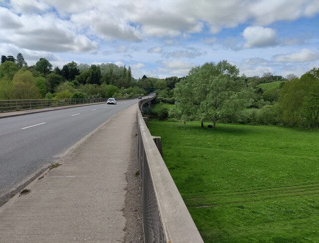
Image: © Mat Fascione Taken: 7 May 2023
Built in 1985, this bridge carries the A458 across the River Severn flood plain, on the southern edge of Bridgnorth.
Images are licensed for reuse under creativecommons.org/licenses/by-sa/2.0
Image Location
Latitude
52.527481
Longitude
-2.415625