Norton Community Primary School - Langton Road Site
Introduction
The photograph on this page of Norton Community Primary School - Langton Road Site by Clive Jeffery as part of the Geograph project.
The Geograph project started in 2005 with the aim of publishing, organising and preserving representative images for every square kilometre of Great Britain, Ireland and the Isle of Man.

There are currently over 7.5m images from over 14,400 individuals and you can help contribute to the project by visiting https://www.geograph.org.uk
Norton Community Primary School - Langton Road Site
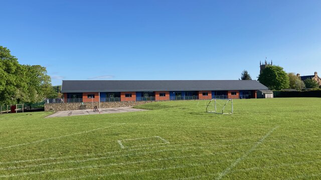
Image: © Clive Jeffery Taken: 10 May 2023
A view North, across the playing field at Norton Community Primary School. This is the Langton Road site and St. Peter's Church tower can be seen in the background.
Images are licensed for reuse under creativecommons.org/licenses/by-sa/2.0
Image Location
Latitude
54.127846
Longitude
-0.787857