Map of Grove village at side of bus shelter
Introduction
The photograph on this page of Map of Grove village at side of bus shelter by David Hillas as part of the Geograph project.
The Geograph project started in 2005 with the aim of publishing, organising and preserving representative images for every square kilometre of Great Britain, Ireland and the Isle of Man.

There are currently over 7.5m images from over 14,400 individuals and you can help contribute to the project by visiting https://www.geograph.org.uk
Map of Grove village at side of bus shelter
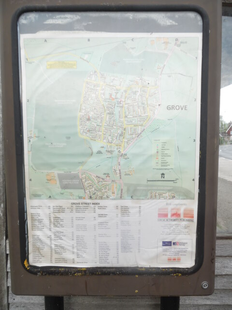
Image: © David Hillas Taken: 4 May 2023
This map of Grove village is on the side of the bus shelter in Oxford Lane at the junction with Denchworth Road and Main Street. Below the actual map is the Grove street index.
Images are licensed for reuse under creativecommons.org/licenses/by-sa/2.0
Image Location
Latitude
51.611811
Longitude
-1.420556