Allotments in New Mistley
Introduction
The photograph on this page of Allotments in New Mistley by Glyn Baker as part of the Geograph project.
The Geograph project started in 2005 with the aim of publishing, organising and preserving representative images for every square kilometre of Great Britain, Ireland and the Isle of Man.

There are currently over 7.5m images from over 14,400 individuals and you can help contribute to the project by visiting https://www.geograph.org.uk
Allotments in New Mistley
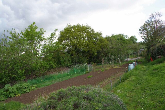
Image: © Glyn Baker Taken: 5 May 2023
A scrap of land between the B1352 and the railway.
Images are licensed for reuse under creativecommons.org/licenses/by-sa/2.0
Image Location
Latitude
51.943709
Longitude
1.084549