Connaught Road
Introduction
The photograph on this page of Connaught Road by Ian Capper as part of the Geograph project.
The Geograph project started in 2005 with the aim of publishing, organising and preserving representative images for every square kilometre of Great Britain, Ireland and the Isle of Man.

There are currently over 7.5m images from over 14,400 individuals and you can help contribute to the project by visiting https://www.geograph.org.uk
Connaught Road
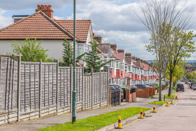
Image: © Ian Capper Taken: 25 Apr 2023
Houses in Connaught Road, a road marked as a cul-de-sac on the 1935 25 inch map with only the nearest pair of semi-detached houses shown (along with another pair opposite on the south side of the road). The rest of the houses are first shown on the 1944 6 inch map (in outline only, with the road now extended through to Wrythe Lane), implying a mid - late 1930s building date.
Images are licensed for reuse under creativecommons.org/licenses/by-sa/2.0
Image Location
Latitude
51.37501
Longitude
-0.18151