Level crossing on Dalfaber Drive, Aviemore
Introduction
The photograph on this page of Level crossing on Dalfaber Drive, Aviemore by Malc McDonald as part of the Geograph project.
The Geograph project started in 2005 with the aim of publishing, organising and preserving representative images for every square kilometre of Great Britain, Ireland and the Isle of Man.

There are currently over 7.5m images from over 14,400 individuals and you can help contribute to the project by visiting https://www.geograph.org.uk
Level crossing on Dalfaber Drive, Aviemore
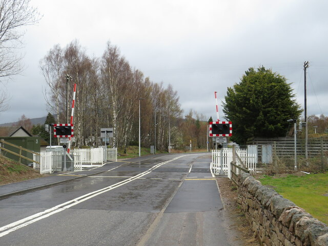
Image: © Malc McDonald Taken: 23 Apr 2023
A railway level crossing with automatic half barriers on Dalfaber Drive in Aviemore, in the Scottish Highlands. The railway which passes through this crossing is the Strathspey Railway, a preserved railway operating over part of a line which British Railways had closed in 1965 as part of the "Beeching Cuts". Aviemore lies within the Cairngorms National Park.
Images are licensed for reuse under creativecommons.org/licenses/by-sa/2.0
Image Location
Latitude
57.200419
Longitude
-3.819954