Benchmark on garden wall of #53 Valley Road
Introduction
The photograph on this page of Benchmark on garden wall of #53 Valley Road by John S Turner as part of the Geograph project.
The Geograph project started in 2005 with the aim of publishing, organising and preserving representative images for every square kilometre of Great Britain, Ireland and the Isle of Man.

There are currently over 7.5m images from over 14,400 individuals and you can help contribute to the project by visiting https://www.geograph.org.uk
Benchmark on garden wall of #53 Valley Road
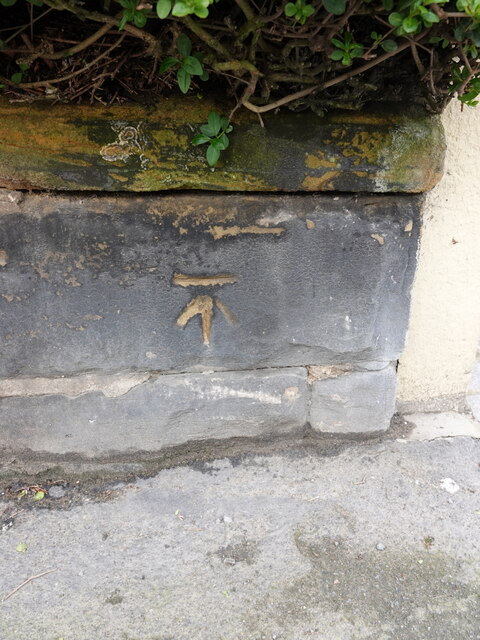
Image: © John S Turner Taken: 22 Apr 2023
Ordnance Survey benchmark on the south facing garden wall of #53 Valley Road. The cut mark was levelled at 30.812m above Newlyn Datum, verified 1968. For a wider view see Image
Images are licensed for reuse under creativecommons.org/licenses/by-sa/2.0
Image Location
Latitude
54.2747
Longitude
-0.40891