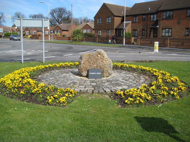
Princes Risborough: The Pudding Stone
Introduction
The photograph on this page of Princes Risborough: The Pudding Stone by Nigel Cox as part of the Geograph project.
The Geograph project started in 2005 with the aim of publishing, organising and preserving representative images for every square kilometre of Great Britain, Ireland and the Isle of Man.
There are currently over 7.5m images from over 14,400 individuals and you can help contribute to the project by visiting https://www.geograph.org.uk

Image: © Nigel Cox Taken: 30 Mar 2008
The pudding stone is seen here, set in setts, and surrounded by a sea of yellow pansies, on the south-east side of the roundabout at the junction of Bell Street and New Road. The Princes Risborough Area Heritage Society plaque nearby describes it thus: "Puddingstone boulders such as this are thought to have been used as way-markers by prehistoric man, and this one stood in Back Lane, though latterly largely unobserved and buried for all but a few inches. It was moved to its present prominent position when the lane was widened in 1984. Puddingstone is one form of what is generally called 'sarsen'. Laid down some 50 million years ago, when this region had a hot tropical climate, as a layer over the chalk known as silcrete, it was broken into blocks by the freeze-thaw action of the Ice Age less than 2 million years ago, and these blocks were then carried into the valleys by the torrent of melt-water. Most of the setts surrounding the Puddingstone are of a finer grained sarsen, quarried locally at Denner Hill. Once widely used as paving in the town few of these attractive buff stones survive but some may be seen in their original setting under the Market House."

