The Percy Arms, Walbottle
Introduction
The photograph on this page of The Percy Arms, Walbottle by N Richardson as part of the Geograph project.
The Geograph project started in 2005 with the aim of publishing, organising and preserving representative images for every square kilometre of Great Britain, Ireland and the Isle of Man.

There are currently over 7.5m images from over 14,400 individuals and you can help contribute to the project by visiting https://www.geograph.org.uk
The Percy Arms, Walbottle
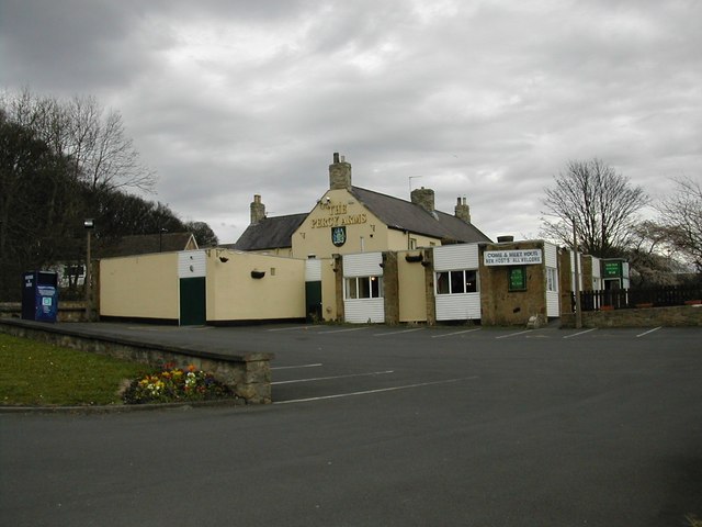
Image: © N Richardson Taken: 31 Mar 2008
The village pub opposite the Green. Substantially extended in the '70s which took away its character in the name of modernisation.
Images are licensed for reuse under creativecommons.org/licenses/by-sa/2.0
Image Location
Latitude
54.990727
Longitude
-1.733814