Junction on the B1421
Introduction
The photograph on this page of Junction on the B1421 by Glyn Baker as part of the Geograph project.
The Geograph project started in 2005 with the aim of publishing, organising and preserving representative images for every square kilometre of Great Britain, Ireland and the Isle of Man.

There are currently over 7.5m images from over 14,400 individuals and you can help contribute to the project by visiting https://www.geograph.org.uk
Junction on the B1421
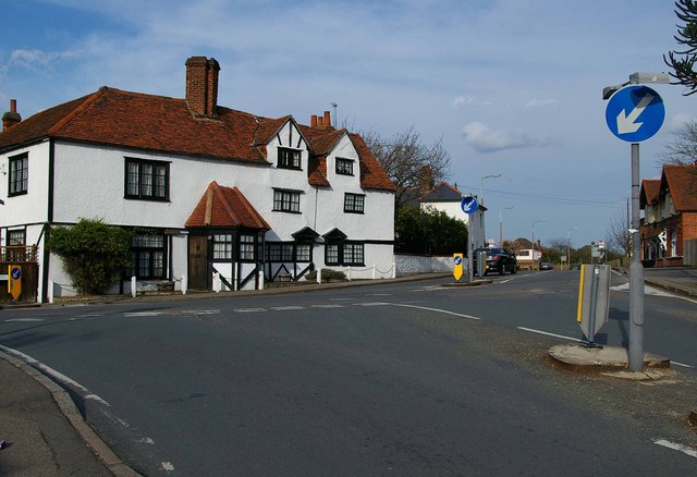
Image: © Glyn Baker Taken: 30 Mar 2008
This is the junction of Harwood Hall Lane (foreground) with Corbets Tey Road (left) and Ockendon Road (right).
Images are licensed for reuse under creativecommons.org/licenses/by-sa/2.0
Image Location
Latitude
51.542822
Longitude
0.251234