Long Field/Great Marlpit Field
Introduction
The photograph on this page of Long Field/Great Marlpit Field by Simon Carey as part of the Geograph project.
The Geograph project started in 2005 with the aim of publishing, organising and preserving representative images for every square kilometre of Great Britain, Ireland and the Isle of Man.

There are currently over 7.5m images from over 14,400 individuals and you can help contribute to the project by visiting https://www.geograph.org.uk
Long Field/Great Marlpit Field
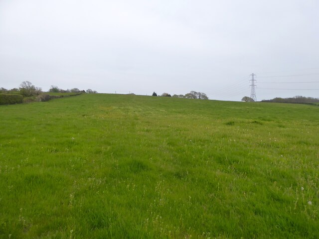
Image: © Simon Carey Taken: 30 Apr 2023
The name of the fields according to Crowhurst's 1841 tithe map that have been merged. Long Field is in the foreground and has been split in two having originally run in a north-south direction, seee Image Great Marlpit Field is on the eastern side
Images are licensed for reuse under creativecommons.org/licenses/by-sa/2.0
Image Location


Leaflet Map data © OpenStreetMap
Latitude
50.877437
Longitude
0.492807