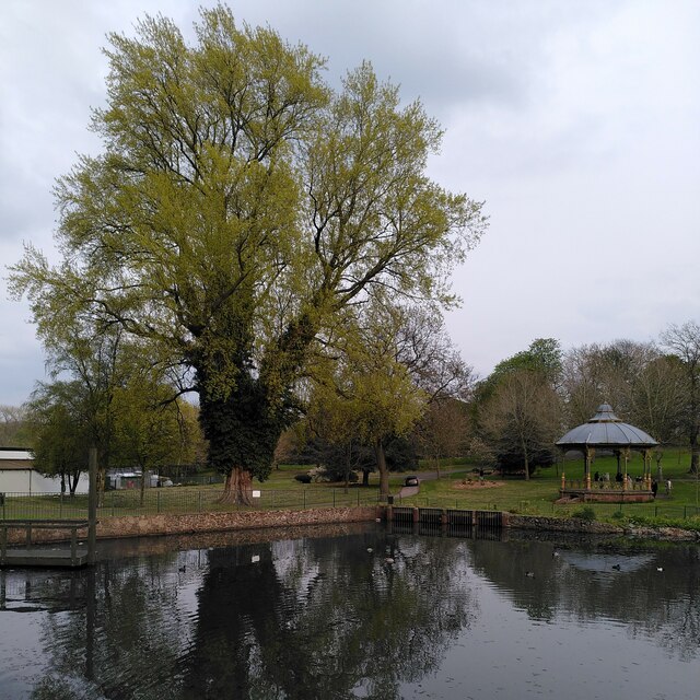
Pond, poplar and bandstand, Handsworth Park
Introduction
The photograph on this page of Pond, poplar and bandstand, Handsworth Park by A J Paxton as part of the Geograph project.
The Geograph project started in 2005 with the aim of publishing, organising and preserving representative images for every square kilometre of Great Britain, Ireland and the Isle of Man.
There are currently over 7.5m images from over 14,400 individuals and you can help contribute to the project by visiting https://www.geograph.org.uk

Image: © A J Paxton Taken: 22 Apr 2023
Handsworth Park is a late 19th century public park, formerly known as Victoria Park, and now managed by the city of Birmingham, with active support from voluntary groups. For more on its history, see the Historic England site https://historicengland.org.uk/listing/the-list/list-entry/1001473?section=official-list-entry . Here we see a fine black poplar coming into leaf in late April and reflected in one of the park's two large ponds. The tree is a wild black poplar, Populus nigra subspecies betulifolia, according to the Woodland Trust tree inventory https://ati.woodlandtrust.org.uk/tree-search/tree?treeid=48371&from=3523&v=2283184&ml=map&z=16&nwLat=52.51181053354219&nwLng=-1.9397488484965453&seLat=52.50704370581322&seLng=-1.9126478086100707#/ . This is the native black poplar of Britain and northwestern Europe, although in this location it is likely to have been planted rather than being naturally occurring. The bandstand is a Grade II listed building and was made in Scotland in 1903 by the Lion Foundry Company of Kirkintilloch, according to the listing at Historic England https://historicengland.org.uk/listing/the-list/list-entry/1211912?section=official-list-entry . It was restored for the reopening of the park in 2006; see Image

