Bridle Path & Stream near Ramsden Back Common
Introduction
The photograph on this page of Bridle Path & Stream near Ramsden Back Common by Glyn Baker as part of the Geograph project.
The Geograph project started in 2005 with the aim of publishing, organising and preserving representative images for every square kilometre of Great Britain, Ireland and the Isle of Man.

There are currently over 7.5m images from over 14,400 individuals and you can help contribute to the project by visiting https://www.geograph.org.uk
Bridle Path & Stream near Ramsden Back Common
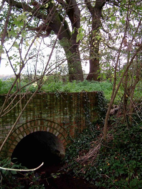
Image: © Glyn Baker Taken: 5 Nov 2005
The photo was taken looking west at the culvert that carries a stream under the bridle path linking Heath Road with Ramsden Back Common
Images are licensed for reuse under creativecommons.org/licenses/by-sa/2.0
Image Location


Leaflet Map data © OpenStreetMap
Latitude
51.637954
Longitude
0.458135