Erosion on the south bank of Catlow Gill
Introduction
The photograph on this page of Erosion on the south bank of Catlow Gill by Christine Johnstone as part of the Geograph project.
The Geograph project started in 2005 with the aim of publishing, organising and preserving representative images for every square kilometre of Great Britain, Ireland and the Isle of Man.

There are currently over 7.5m images from over 14,400 individuals and you can help contribute to the project by visiting https://www.geograph.org.uk
Erosion on the south bank of Catlow Gill
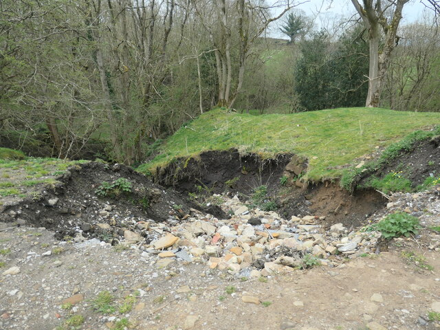
Image: © Christine Johnstone Taken: 17 Apr 2023
Flood water in a culverted tributary has ripped out both soil and hardcore.
Images are licensed for reuse under creativecommons.org/licenses/by-sa/2.0
Image Location


Leaflet Map data © OpenStreetMap
Latitude
53.940701
Longitude
-2.052367