Goring Lane, Wokefield
Introduction
The photograph on this page of Goring Lane, Wokefield by Oscar Taylor as part of the Geograph project.
The Geograph project started in 2005 with the aim of publishing, organising and preserving representative images for every square kilometre of Great Britain, Ireland and the Isle of Man.

There are currently over 7.5m images from over 14,400 individuals and you can help contribute to the project by visiting https://www.geograph.org.uk
Goring Lane, Wokefield
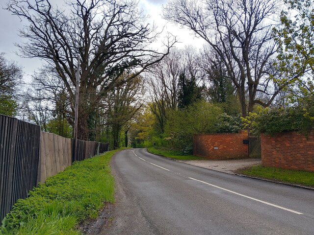
Image: © Oscar Taylor Taken: 23 Apr 2023
Goring Lane is the main road through Wokefield. It runs from Burghfield Common to Grazeley Green Road.
Images are licensed for reuse under creativecommons.org/licenses/by-sa/2.0
Image Location
Latitude
51.392944
Longitude
-1.047188