Footpath off the Downham Rd
Introduction
The photograph on this page of Footpath off the Downham Rd by Glyn Baker as part of the Geograph project.
The Geograph project started in 2005 with the aim of publishing, organising and preserving representative images for every square kilometre of Great Britain, Ireland and the Isle of Man.

There are currently over 7.5m images from over 14,400 individuals and you can help contribute to the project by visiting https://www.geograph.org.uk
Footpath off the Downham Rd
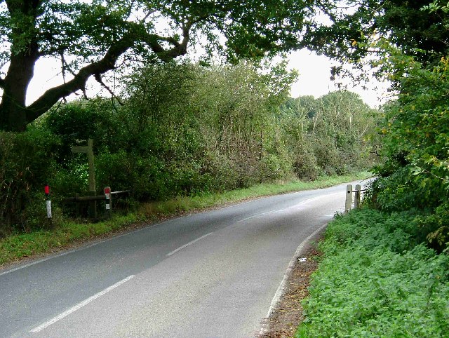
Image: © Glyn Baker Taken: 5 Nov 2005
This photo was taken looking southeast where Downham Road dips into TQ7097 the footpath indicated by the sign on the left heads of almost due east towards Hanningfield Reservoir. The bridge goes over a stream that flows into the Reservoir.
Images are licensed for reuse under creativecommons.org/licenses/by-sa/2.0
Image Location


Leaflet Map data © OpenStreetMap
Latitude
51.653911
Longitude
0.469119